|
the general situation
| ||||||||||||||||||||||||||
| Glencoe Webcams
 Nevis Webcams
Lowther Hill Cams

|
May Day Monday Holiday wraps up the 2026 Season! This Report for the Scottish Highlands was issued at
19.49hrs Monday 4th May 2026. That is all folks! Remaining spring turns will have to be earned with CairnGorm now closed for the season. Lift assisted touring options also available at Glencoe and Nevis from the top of the respective access lifts.
CairnGorm bike park is open daily, including the magic carpets at the Daylodge. Nevis Bike tracks will be closed Tue/Wed next week, then closed from Sun 10th May through Thu 21st May. Glencoe bike tracks were scheduled to open around 23rd May, but may open earlier if largely settled weather continues.
Friday saw CairnGorm notch up their 7th consecutive month of lift served snowsports, but alas the Bank Holiday Monday put a wrap on the 2026 season.
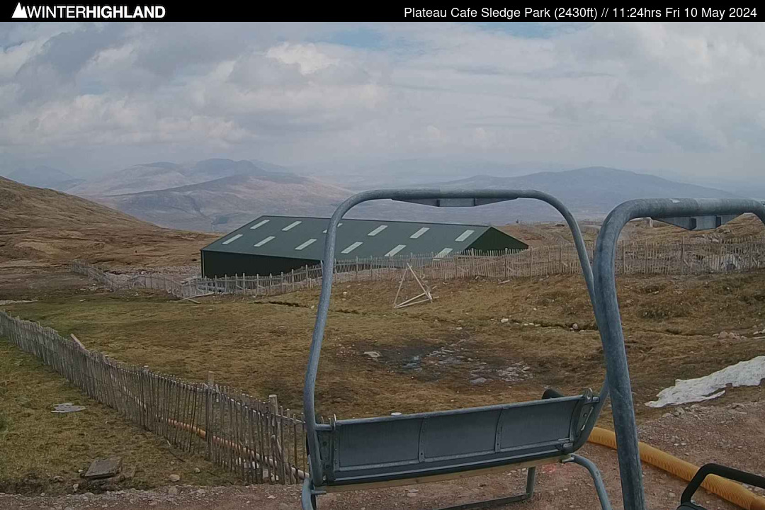
The lift served season ended where it had started in November in the Top Basin on CairnGorm, with the Ptarmigan Tow finalling bowing out after a lot of snow shoving to get the bottom of the run and uptrack through the holiday weekend. There are still turns to be had in both the East and West side of the country, but all will now have to be earned, with access to remaining snowfields on CairnGorm now only from the Cas and Ciste Carpark levels as the Funicular will move into the closed system on Tuesday 5th May with the snowsports season officially over. In the West skis / snowboards can continue to be carried on the Glencoe Access Chairlift and the Nevis Gondola, so there remains some lift assistance to get up to similar height to the East Coast access roads. The snow is easier to reach on Meall a Bhuiridh, but the extra elevation means Aonach Mor can offer around 1100ft vertical descent on the Goose side vs around 800ft continuous descent at Glencoe on the Main Basin, and a bit less on the Spring Run. If venturing beyond the Main Basin or Spring Run, beware of the Flypaper if surface conditions firm up or become particularly soft. Remember the mountain is unpatrolled now and as the spring melt continues the Flypaper Bowl becomes increasingly consequential terrain! With notably cooler temperatures than the second half of April, there should not be a huge change of remaining snow cover over the coming week. There may be some fresh on top of older snow at higher levels this week, but no significant new snow events are on the horizon. :: Glencoe Sledge Park / Tubing The Plateau Cafe is now closed mid-week and will be open weekends only till the end of May Bank Holiday weekend. It is advisable to arrive before 2.45pm at the latest for sledging as the last chair down is scheduled for 4.30pm. Summer Tubing season starts on Saturday 9th May, it is advisable to book sessions in advance as numbers are limited per time slot. • top of page •
:: England Club Fields For both Weardale and Allenheads, you need to join the club with a season pass, these are still available for both at this time. Please check club access rules / availability if not a club member / pass holder. Weardale: https: //skiweardale.com/ . Allenheads: http://ski-allenheads.co.uk/ . Yad Moss: https: //yadmoss.co.uk/ . Raise: https: //www.ldscsnowski.co.uk/ . • top of page •
:: Mountain Weather The SAIS summit AWS on Aonach Mor was reporting +1.0°c. The Met Office station was reporting a South West wind at 22 gusting 30mph. At Tower 17 of the Gondola (650m) it was +4.9°c (the CIC Hut AWS was offline). At Tulloch Station (237m) the temperature was +9.9°c. In the East the Met Office summit weather station on CairnGorm reported +1.3°c, with a Westerly at a mean of 21 gusting 32mph. At Aviemore the temperature at 6pm was +9.8°c. The Met Office Cairnwell AWS reported 5.4°c with a West wind at a mean of 21 gusting 35mph. • top of page •
:: Mountain Forecast Discussion Tuesday will see a chilly moderate NNW to North wind in the West, substantially dry but a few light mountain snow showers may drift in. With wind tending slightly east of north for the East Highlands, the Northern Cairngorms are likely to see more in the way of these mountain snow showers, potentially giving a couple of cm of new snow overlying the remaining snow cover. Minus 2 rising 0°c or towards the West +1°c at Munro Level. Best of brighter spells between showers towards the SW Highlands. Wind will become variable, later Southerly or SE on Wednesday, so showers likely to be a bit more widespread, though some areas particularly well inland may just above avoid them. Brighter or sunny spells between showers. Minus 2 to -1°c rising towards 0°c later in the afternoon at Munro Level. A similar day on Thursday, but the temperature lifting a degree or two, so sleety showers on the tops, but rain at most levels. Freshening SW wind around 20 to 25mph gusting 40 to 45mph. Rising +3°c at Munro Level. Low confidence in forecast detail for the end of the week, but Friday currently looks like it may be the mildest day of the week with the freezing level lifting above the highest summits, before potentially dropping again on Saturday. • top of page •
:: Webcams and Weather Stations GLENCOE: All mountain webcams online and the first updated images are around 4.45am (BST). The streaming webcam tour has ended for the season and will return in December or earlier if interesting weather! Temperature data is available from 4 levels. Wind speed currently available at summit and base. • top of page •
|
West Highlands Forecast
Tuesday 26th May
FL: >Tops. Part Cloudy
914m: 13°c WNW 20 gust 30mph Wednesday 27th May
FL: >Tops. Sunny
914m: 15°c SE 10 gust 20mph More... 10.52hrs Mon 25th MayNorthern Cairngorms Forecast
Saturday 27th June
FL: >Tops. Heavy Rain
914m: 14°c South 45 gust 65mph Sunday 28th June
FL: >Tops. Showers
914m: 11°c SW 35 gust 50mph More... 08.57hrs Sat 27th Jun
| ||||||||||||||||||||||||
| ||||||||||||||||||||||||||